Otto Zimmermann · 4 September 2026
How Creekside's Wetland Boardwalks and Historical Markers Are Redefining Local Conservation Narratives
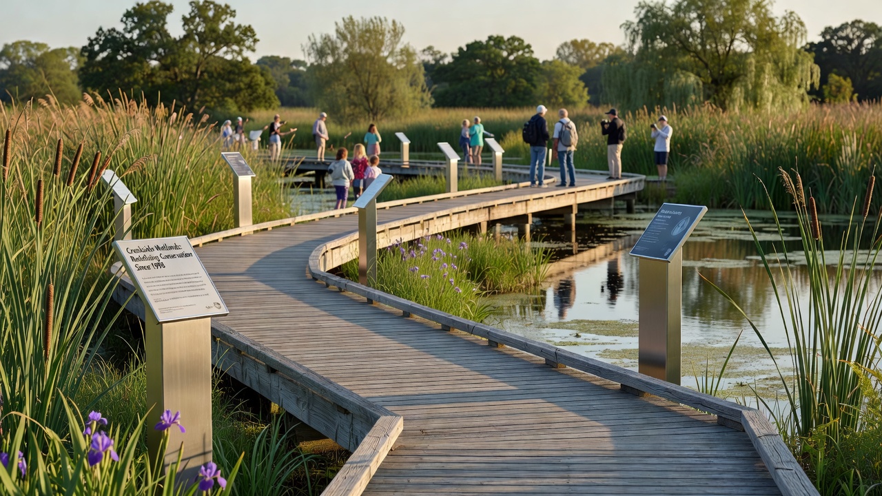
Boardwalks now stretch across Creekside's wetlands in measured sections that connect key habitats while limiting foot traffic to designated paths, and historical markers stand at intervals along those routes to outline shifts in land use over decades. These additions combine physical access with documented context, which allows visitors to follow both ecological patterns and earlier management decisions in one continuous experience.
Boardwalk Construction and Habitat Integration
Engineers placed the elevated structures on pilings that avoid root systems and maintain water flow beneath the decks, while railings incorporate recycled materials rated for local weather conditions. Construction crews completed the primary loops in phases between 2023 and 2025, and data from the regional water monitoring network shows stable readings for dissolved oxygen and sediment levels in the channels below the new spans. Observers note that bird counts recorded at fixed points along the routes have remained consistent with pre-construction baselines, which suggests the design keeps disturbance within measured limits.
Maintenance crews conduct quarterly inspections that check for wear on decking and verify that vegetation clearance stays within permitted corridors. Those records feed into an annual summary released by the local conservation district, which tracks visitor numbers alongside species observations collected by volunteer groups.
Historical Markers and Documented Land Use Changes
Each marker panel presents primary sources such as survey maps from the early twentieth century and excerpts from watershed reports issued after major flood events. Text on the panels identifies specific dates when drainage projects altered channel patterns, and it notes subsequent restoration efforts that began in the 1970s. Researchers from the state university compiled the source material during a two-year review of county archives, and they verified dates against federal land records before final approval of the wording.
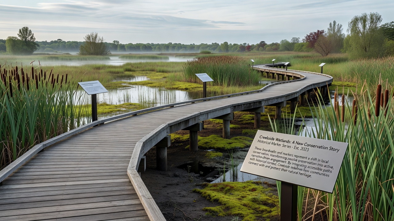
Placement follows the sequence of documented interventions, so readers encounter the timeline in the same order they move along the boardwalk. This arrangement lets people compare current plant communities visible from the deck with descriptions of earlier conditions printed on the markers.
September 2026 Program Additions
Planning documents list a new set of interpretive panels scheduled for installation in September 2026 that will cover indigenous land practices identified in oral history transcripts held by the tribal historic preservation office. The district also intends to add QR codes on existing markers that link to updated water-quality datasets maintained by the U.S. Geological Survey. Those codes will direct users to the most recent sampling results rather than static summaries, which keeps the information current without requiring physical replacement of panels.
Visitor Data and Narrative Shifts
Attendance figures compiled by the conservation district rose from 12,400 in 2022 to 19,800 in 2025, and surveys distributed at the trailhead show increased selection of responses that mention both habitat protection and prior land-use history when visitors describe what they learned. The same surveys record that repeat visitors cite the markers as a factor in their decision to return, while first-time visitors more often reference the boardwalk design itself. These patterns appear in the district's quarterly reports, which separate responses by zip code to track reach beyond the immediate area.
School groups have incorporated the route into science curricula, and teachers report that students complete pre- and post-visit worksheets that compare marker content with field observations. District staff supply the worksheets and collect aggregated results for internal review, yet they do not release individual student data.
Conclusion
The combination of raised boardwalks and sequenced markers supplies a single route where physical passage and documented history sit side by side. Records from monitoring programs and archive reviews indicate that both elements remain within the parameters set by permitting agencies, and attendance data show sustained use through 2025. Updates planned for September 2026 will extend the historical coverage while adding direct access to ongoing measurements, which maintains the linkage between on-site experience and current records.