Alex Lehmann · 16 October 2026
Creekside's Birthplace Site Gains Enduring Landmark Status Under Mounting Development Strain
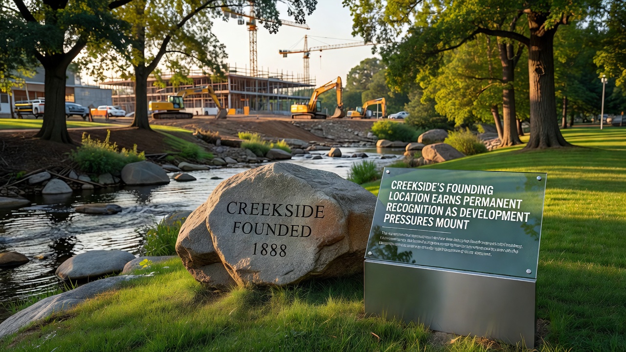
Officials in Creekside completed the formal designation of the community's founding location as a permanent heritage site during proceedings that wrapped up in late September 2026, and the move comes as regional planning documents show increased applications for residential and commercial projects along the same creek corridor that first drew settlers in the 1850s. The protected zone covers the original landing point where survey records indicate the initial homestead cluster took shape, along with adjacent floodplain terraces that contain documented artifacts from those early years. Local preservation ordinances now require any new construction within a 500-meter buffer to undergo archaeological review before permits can be issued.
Historical Context and Documentation
Archival maps from the county recorder's office trace the settlement's start to a narrow bend in the creek where water access and timber resources aligned for wagon trains moving through the valley. Researchers cross-referenced those maps with land patents filed between 1852 and 1857, confirming that structures stood on the site well before the formal town grid was surveyed. Data from soil core samples collected in 2024 revealed charcoal layers and tool fragments consistent with that period, and the findings were submitted to the state historic preservation office for verification.
Current Development Pressures
County planning records list six pending subdivision proposals that would add more than 800 residential units within two miles of the protected zone by 2030, and traffic studies project a 35 percent rise in daily vehicle crossings over the creek bridge that sits just upstream from the heritage boundary. Zoning amendments approved earlier this year allow taller building heights in adjacent commercial districts, which developers have cited as necessary to meet regional housing targets set by the metropolitan council. Those same documents note that stormwater management upgrades tied to the new construction could alter drainage patterns feeding the original creek channel.
One study released by the regional water authority in August 2026 modeled potential sediment increases if grading occurs on slopes above the site, and the report recommended buffer plantings as a mitigation step. Engineers working for the development applicants have already submitted alternative grading plans that avoid direct encroachment on the marked heritage area.
Recognition Process and Stakeholder Input
The heritage designation followed a 14-month review that included three public hearings and input from tribal representatives whose ancestors used the creek corridor for seasonal fishing. Meeting minutes show that the final ordinance passed by a 5-2 vote of the city council after amendments strengthened enforcement penalties for unauthorized ground disturbance. Funding for interpretive signage and a small viewing platform comes from a combination of local impact fees and a matching grant administered through the state cultural resources program.
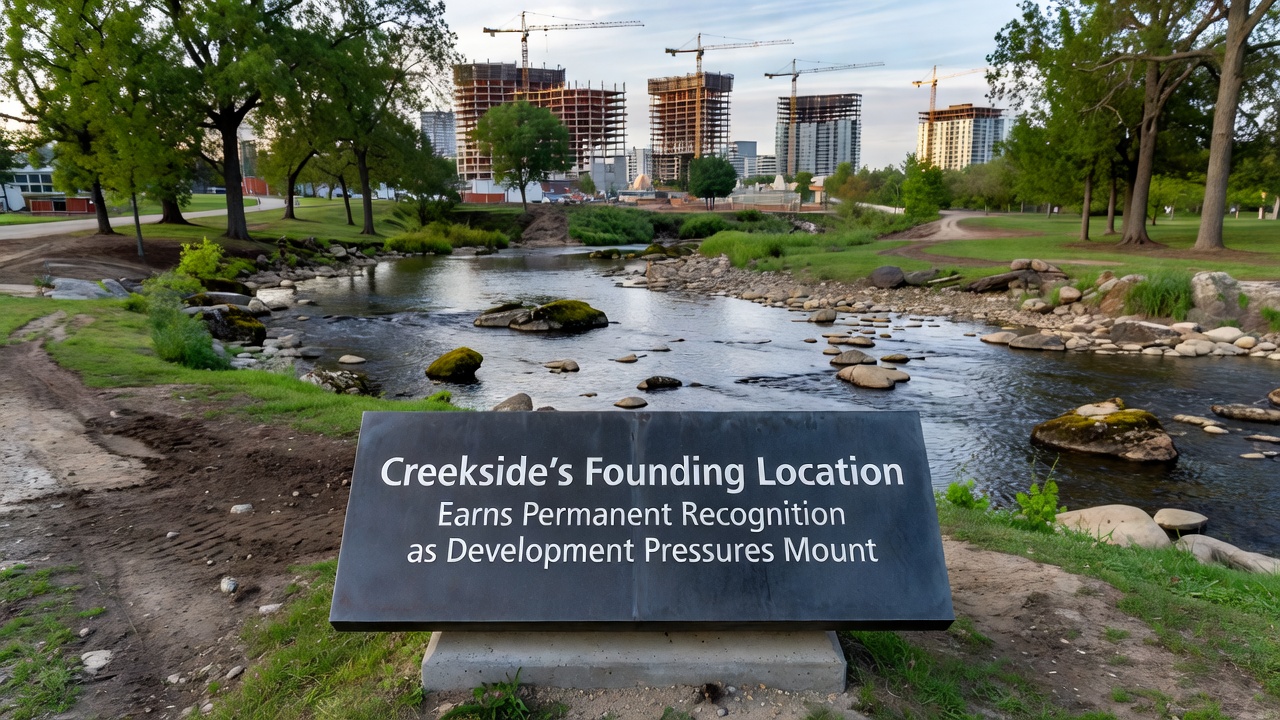
October 2026 marks the scheduled unveiling of the permanent bronze marker that will include a QR code linking to digitized land records and oral histories collected during the review. The marker placement sits on city-owned land, which removes it from private development consideration while still allowing public access via an existing footpath.
Broader Regional Patterns
Similar heritage protections have been enacted in neighboring valleys facing comparable growth, according to a 2025 report from the Western States Heritage Consortium that tracked 27 new designations across four states since 2020. Figures in that report indicate average review timelines of 18 months when archaeological surveys are required, and they note that 62 percent of those sites incorporated buffer zones wider than 300 meters to address flood and erosion concerns. Creekside's buffer exceeds that average at 500 meters, reflecting specific topography documented in the local geological survey.
Conclusion
The permanent recognition of Creekside's founding location establishes a defined boundary that future development proposals must navigate through formal review channels, and the process has already generated updated mapping layers now available through the county GIS portal. Observers note that the designation integrates with ongoing floodplain management updates scheduled for final adoption in early 2027, creating a coordinated framework that addresses both cultural resources and environmental constraints in the same corridor.