Olivia Lange · 30 October 2026
Creative Studios Overlooking Creekside Prompt Examination of Settlement History and Flood Defense Advances
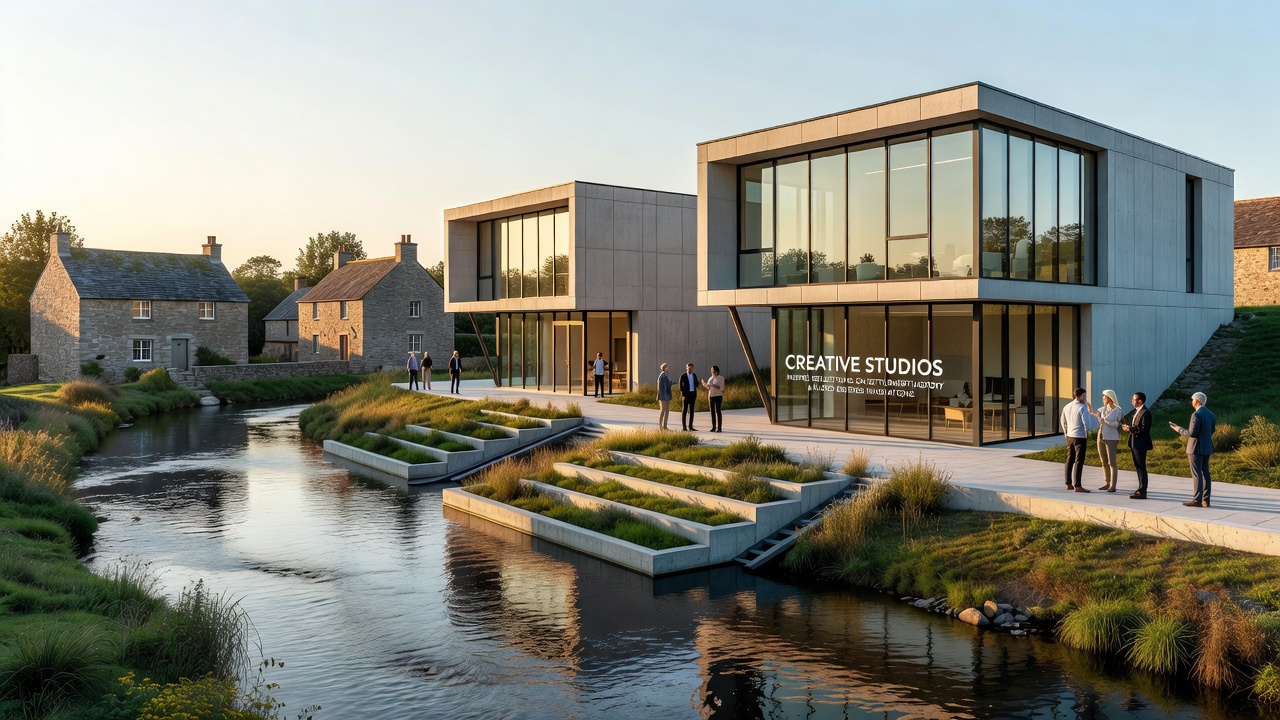
Creative studios positioned along the elevated banks of Creekside have drawn attention to connections between early settlement patterns and contemporary flood defense systems, while researchers document how these spaces facilitate ongoing analysis of regional development. Artists working in these locations since the early 2020s have incorporated elements from archaeological findings and engineering reports into their projects, which in turn have prompted public discussions about land use changes over centuries. Data from local surveys indicate that settlement activity in the area dates back to at least the 1700s, with structures built near the creek for access to water resources yet vulnerable to seasonal overflows.
Those studying the sites note that early inhabitants adapted to periodic flooding through elevated foundations and drainage channels, methods that parallel certain aspects of current infrastructure upgrades. Studies conducted by regional universities have mapped these historical modifications using lidar technology and sediment analysis, revealing layers of construction that inform present-day planning. In October 2026 several studios plan to host open sessions where participants examine archival maps alongside recent hydrological models, allowing direct comparison of past and present approaches to water management.
Settlement Patterns Along the Creek
Archaeological evidence collected over the past decade shows that initial settlements clustered near natural bends in the creek because those locations offered stable banks for agriculture and trade routes. Observers point out that these choices also exposed communities to repeated inundation events, which records from the 1800s describe as occurring every five to seven years on average. Researchers at institutions across North America and Europe have cross-referenced settler diaries with tree-ring data to confirm the frequency and severity of those floods, establishing timelines that guide modern risk assessments.
Creative practitioners in the overlooking studios have referenced these timelines in installations that layer historical photographs wth current topographic surveys. The resulting works highlight how settlement density increased after the introduction of basic levees in the late nineteenth century, a development that reduced immediate flood risk yet altered natural sediment flows. According to reports from the US Army Corps of Engineers, similar patterns appear in multiple watersheds, where early infrastructure decisions continue to shape both land use and defense strategies today.
Flood Defense Innovations and Their Historical Context
Modern flood defense systems around Creekside incorporate sensors, adjustable barriers, and restored wetland buffers that draw on both historical knowledge and recent engineering advances. Engineers have tested these components in controlled simulations, with results showing improved performance during high-water events compared with earlier rigid structures. Data collected between 2023 and 2025 indicate that wetland restoration projects have increased water absorption capacity by measurable percentages, reducing peak flows that reach developed areas.
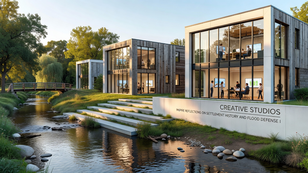
Those working in the creative studios have documented the construction phases of these defenses through time-lapse recordings and field sketches, materials that later appear in public exhibitions. The studios' elevated positions provide sightlines to both the new barrier alignments and the locations of former settlement foundations, creating opportunities for comparative observation. In one documented case, a residency program in 2025 paired visual artists with hydrologists to produce joint reports that combined artistic renderings with quantitative flow measurements.
Additional research from the Australian Department of Climate Change, Energy, the Environment and Water on comparable creek systems demonstrates how integrated approaches that combine structural and ecological elements yield measurable reductions in flood damage over multi-year periods. These findings align with observations at Creekside, where monitoring stations record lower downstream velocities following wetland enhancements completed in 2024.
Current Activities and October 2026 Developments
Studio occupants have scheduled a series of collaborative events for October 2026 that focus on integrating settlement archaeology with flood modeling outputs. Participants will review sediment core samples alongside digital simulations of projected water levels under various climate scenarios, an exercise intended to illustrate direct links between historical site selection and infrastructure needs. Local archives have supplied maps and correspondence from the 1800s that detail early attempts at channel modification, providing concrete examples of adaptation strategies still referenced in contemporary designs.
Attendance records from similar prior events show consistent participation from both technical specialists and community members, with sessions extending into evening discussions about land-use policy. The studios maintain open access policies during these periods, allowing visitors to examine primary documents and engineering diagrams without prior registration. This setup supports continued examination of how settlement history informs ongoing refinements to flood defense measures.
Conclusion
Creative studios overlooking Creekside continue to serve as venues where settlement history and flood defense innovations receive sustained attention through documented projects and scheduled programs. Information gathered from archaeological surveys, engineering reports, and monitoring data provides the factual foundation for these activities, while October 2026 events will extend opportunities for direct comparison of past and present approaches. The arrangement of these studios along the creek banks facilitates ongoing observation of both historical remnants and current infrastructure, supporting further integration of evidence from multiple fields.