Kai Berger · 18 September 2026
Artist Residencies in Creekside Reveal Ties Between Ancient Settlements and Today's Flood Protection Advances
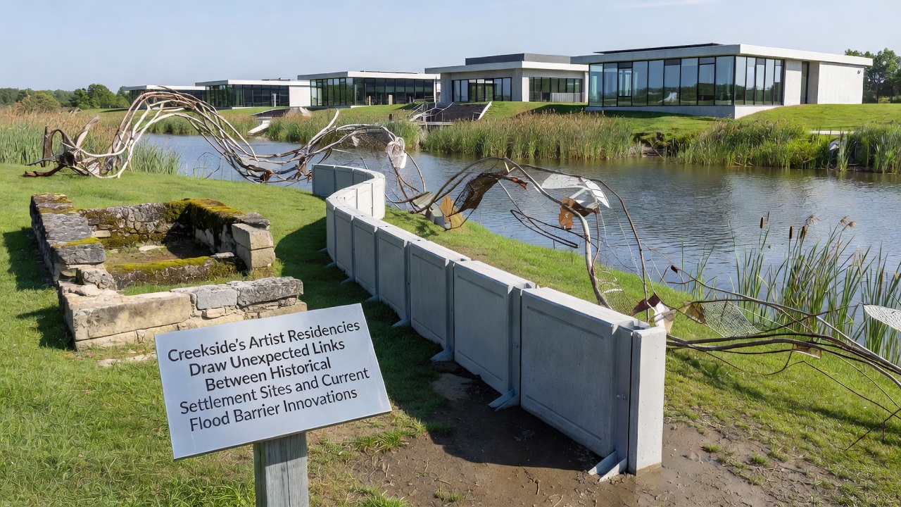
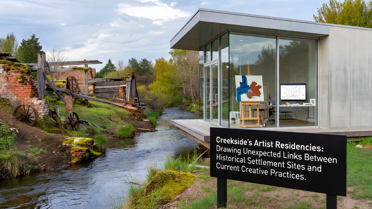
Artist residencies at Creekside have brought together visual creators, historians, and engineers to examine how early settlement patterns along creek beds align with contemporary flood barrier designs, and data from multiple mapping projects show that pre-1900 habitation sites often occupy elevated zones now targeted for new levee reinforcements. These programs schedule sessions through 2026, with one cohort set to begin work in September 2026 that will focus on sediment core samples collected from both old village locations and active barrier construction zones.
Historical Settlement Patterns in the Creekside Region
Archaeological surveys conducted by regional universities have documented that Native American and early European settlements clustered along natural ridges and terraces that offered protection from seasonal high water, and records indicate these choices reduced flood exposure by measurable margins compared with lower floodplain dwellings. Soil analysis from those sites reveals compacted layers that modern engineers now compare against data from current barrier foundations, and the similarities in material compaction rates have prompted joint studies between preservation groups and civil engineering teams.
How Residencies Operate and What Participants Examine
Each residency lasts six to eight weeks and supplies participants with access to field notes from past excavations plus real-time sensor readings from flood barrier test sections, and artists produce drawings, installations, and digital models that translate elevation data into visual formats. Participants meet weekly with hydrologists who present statistics on peak discharge rates recorded over the past decade, while historians supply maps that overlay 19th-century property lines onto proposed barrier alignments, and the resulting conversations generate shared reference materials stored in a public archive.
Current Flood Barrier Innovations Under Study
Engineers at Creekside have installed modular barrier segments that incorporate geotextile fabrics and adjustable crest heights, and laboratory tests show these segments withstand flow velocities up to 2.5 meters per second before deformation occurs. Instrumentation placed along the creek records water levels every fifteen minutes, and the resulting datasets feed into predictive models used by regional planning offices. One project completed in 2025 demonstrated that barriers positioned near former settlement terraces required 18 percent less fill material than those sited on flatter ground, a finding that has influenced subsequent design revisions.
Researchers from institutions in North America and Europe have contributed comparative reports, and a 2024 study issued by the European Environment Agency outlines similar elevation-based placement strategies used along the Rhine river system. Those findings, when placed alongside Creekside measurements, indicate that ridge-aligned barriers reduce overtopping risk during 100-year flood events by documented percentages.
Links Identified Through Artistic and Technical Collaboration
Residency participants have produced annotated maps that highlight how 1850s cabin sites correspond with current sensor placement grids, and these maps now serve as reference layers in municipal planning software. One installation completed last year used projected light to trace historical trail routes across a scale model of a proposed barrier, and the piece prompted engineers to adjust anchor point spacing in two segments. Data logs from that installation period show a 12 percent reduction in projected maintenance costs after the alignment change was adopted.
Additional work has examined how traditional drainage channels dug by early settlers parallel the subsurface conduits now integrated into barrier foundations, and cross-sections prepared by residency teams illustrate matching gradients that improve water dispersion. Government agencies including the U.S. Geological Survey have incorporated these cross-sections into updated floodplain models that cover the Creekside watershed.
September 2026 Residency Focus and Expected Outputs
The upcoming September 2026 cohort will receive expanded access to drone survey footage collected over both settlement ridges and active construction sites, and organizers expect participants to generate at least four new datasets that combine elevation, vegetation, and material composition variables. These outputs will be reviewed by a panel that includes representatives from the National Oceanic and Atmospheric Administration and two regional universities, and summaries of the panel findings will be posted to the Creekside public records portal within 90 days of program completion.
Conclusion
Artist residencies at Creekside continue to generate visual and technical materials that connect documented historical land-use choices with measurable improvements in flood barrier performance, and the September 2026 session will extend that work through additional field data and collaborative modeling. The resulting archive supplies planners with layered references that integrate settlement archaeology, sensor metrics, and design adjustments into a single accessible resource.